-
Critical thinking
Interpreting evidence, evaluating patterns, and building reasoned conclusions. -
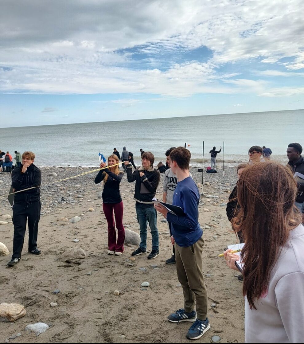
Research and investigation skills
Collecting, analysing, and presenting data with accuracy and clarity. -
Geographical literacy
Confident use of maps, statistics, field sketches and (where appropriate) GIS.
Geography
Geography at ETSS Wicklow is taught through enquiry, real-world investigation, and strong academic foundations. Fieldwork is central to our philosophy - helping students connect classroom learning with the places and processes that shape the world.
Subject overview
Leaving Certificate Geography helps students understand the relationships between people, place, and environment, while developing strong academic skills that support further study and life beyond school.
How Geography is taught at ETSS Wicklow
Teaching and learning is grounded in active methodologies, enquiry, and strong academic expectations — with a consistent focus on building independent learners.
-
Enquiry-based learning through question-led lessons and structured investigation.
-
Data interpretation using graphs, statistics, maps and field evidence.
-
Geographical writing with explicit modelling, feedback, and exam-style practice.
Students are supported to think like geographers — questioning evidence, forming arguments, and applying learning to unfamiliar contexts. Clear routines, targeted feedback, and high-quality resources help students build confidence over the two-year programme.
What this looks like week-to-week
- Short, purposeful retrieval and recap to strengthen long-term memory.
- Explicit teaching of key terms and processes using diagrams and modelling.
- Regular interpretation tasks: maps, photos, figures, and short datasets.
- Structured writing practice with success criteria and feedback.
Supporting all learners
Fieldwork as a core philosophy
Fieldwork is central to our department identity. Students learn by observing, measuring, and analysing geographical processes in real environments.
Regular fieldwork close to the school helps students build confidence with geographical methods and data collection. This includes urban fieldwork in Wicklow town, coastal studies, and nearby fluvial investigations.
-
Glacial landscapes in Glendalough and the surrounding Wicklow Mountains.
-
Karst landscapes in the Burren, including limestone landforms and processes.
-
Coastal landforms at locations such as the Cliffs of Moher.
These experiences support the Geographical Investigation and strengthen independent research skills.
Students are guided through the full investigation process — from forming a research question, to gathering primary data, to analysis and evaluation. We place a strong emphasis on accuracy, reflection, and presenting findings clearly.
Innovation & partnerships
Geography at ETSS Wicklow extends beyond the textbook through live projects and partnerships that connect students with real data and real-world research.
As part of an ongoing department project, students are recording historic rainfall figures in support of a wider study being undertaken alongside Met Éireann. This work strengthens students’ data-handling skills and highlights the role of long-term records in understanding climate patterns and change.
What students learn through the project
- How rainfall datasets are recorded, verified, and interpreted over time.
- How climate trends are identified using evidence rather than opinion.
- How geography connects directly to national scientific and environmental work.
ETSS Wicklow Climate Action Sustainable Development and Geography Department Update
You can replace or reposition this video anywhere on the page as your layout evolves.
Academic excellence & professional engagement
Our department is involved in professional practice and research beyond the classroom, helping ensure that teaching is current, reflective, and informed by best practice.
-
PME involvement
Members of the department work as inspectors/supervisors for PME programmes with Trinity College Dublin. -
Positive practice
The department has been used as an example of positive practice in projects focused on teaching secondary-level Geography. -
Universal Design for Learning (UDL)
Department members are co-authors of an upcoming book: Realising Authentic Inclusive Education through Universal Design for Learning: Subject-specific Examples from the Classroom.
Note: The UDL book is forthcoming and has not yet been published.
-
International Geography Olympiad (iGeo) 2024
Two Geography students represented Ireland at iGeo 2024 after winning the national competition, competing at international level. -
National competitions
Students regularly take part national competitions such as the Pathways for Young Geographers competition, run by Technological University Dublin (TUD). -
Extending learning
Competitions and enrichment opportunities encourage ambition, deeper geographical thinking, and confidence beyond the classroom.

Assessment & skills development
Assessment supports learning and examination success through clear expectations, regular feedback, and structured exam preparation.
Strong written responses, accurate terminology, and the ability to interpret and evaluate information across different contexts.
A balance of formative feedback and exam-focused tasks helps students improve steadily and build confidence over time.
Frequent practice with exam-style questions, supported by modelling, success criteria, and targeted guidance.
Want to learn more about Leaving Certificate Geography?
If you have questions about the programme, fieldwork opportunities, competitions, or how Geography supports future pathways, please get in touch with the school.